The Galtee Mountains
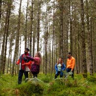
As Ireland's highest inland mountain range, the Galtee Mountains are laced through with countless trails of varying difficulty.
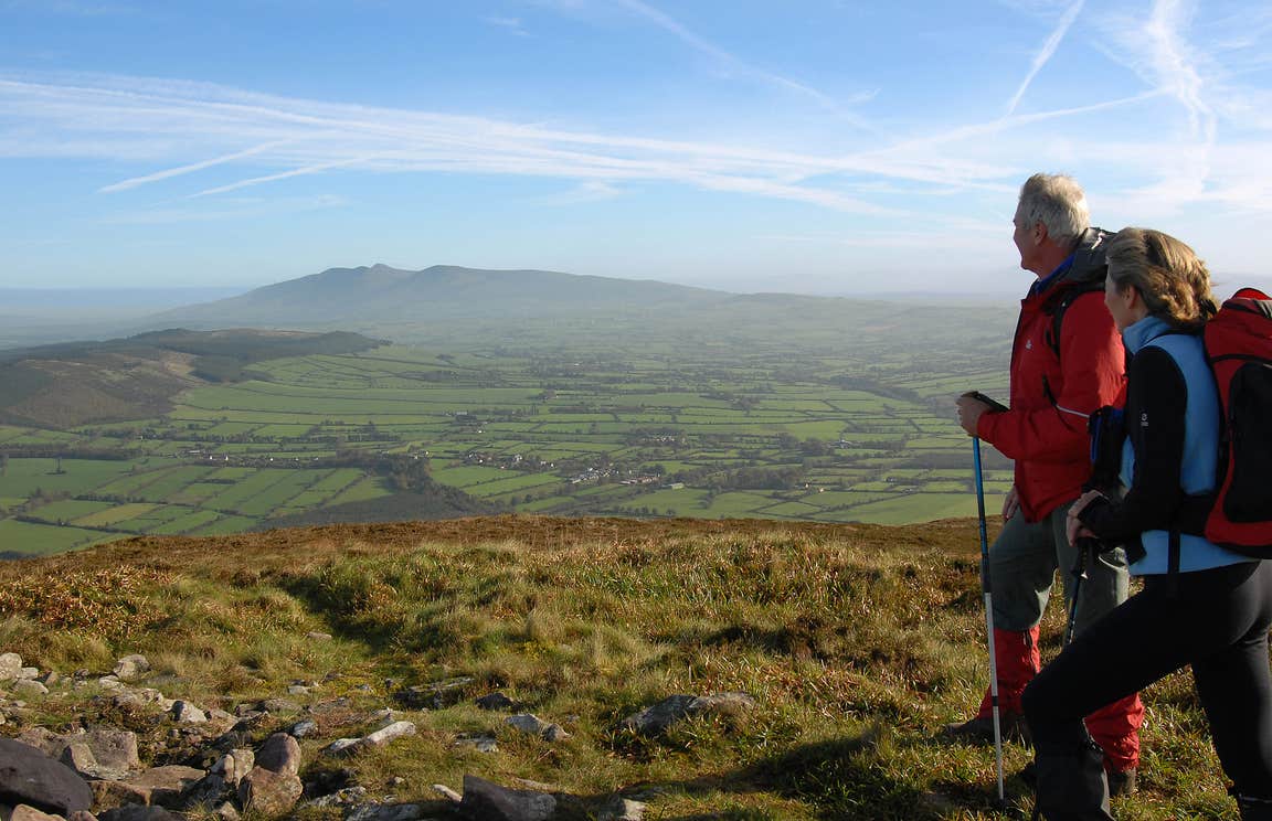
One area that's worth exploring is the Glen of Aherlow on the northern edge of the Galtees. There are plenty of trails to choose from, including two lake walks and eight loop walks. Beginners who are looking for a short but moderate hike should opt for the Rock an Thorabh Loop Walk. The 5.7km trail takes in Slievenamuck’s old red sandstone ridge and Rock an Thorabh itself, where you'll have panoramic views of Tipperary town and Keeper Hill Mountain nearby.
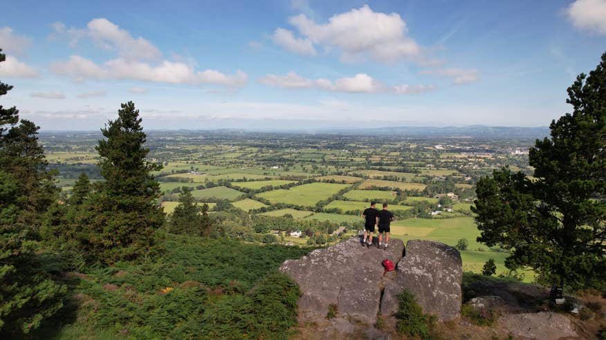
If you're on the hunt for a slightly longer excursion, head to Lisvarrinane to get started on the Dolmen Loop. Spanning 9.8km, the route briefly joins the Ballyhoura Way, showcasing beautiful forestry and fragments of Irish history, including a Megalithic Tomb.
Ballyhoura
Visitors to Cork, Limerick or Tipperary should try to spend some time in Ballyhoura, a region famous for its network of walks and mountain bike trails.
Ease yourself into the region with a straightforward 3.6km stroll along the Attychraan Loop. Follow the waymarks through the wilderness on this two-hour loop and spot the remains of an 18th century hunting lodge that was once used by the second Earl of Kingston before taking a moment to soak up the views of the Galtee Mountains in the distance.
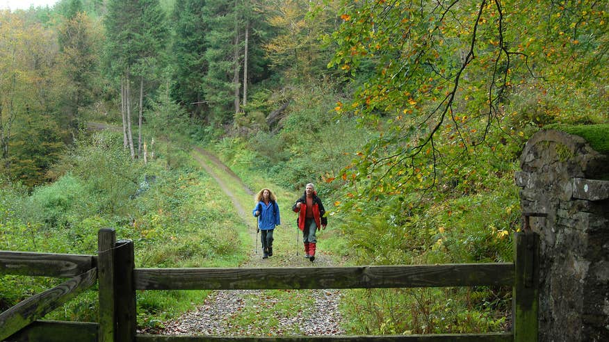
Another Limerick-based loop through Ballyhoura is the Glenstal Woods Loop, which really comes alive in the summer. You'll follow the 14km moderate trail into woodland until you reach gorgeous rhododendron in blossom, with views overlooking Limerick and Tipperary as you go.
If you're hungry for a longer, multi-day hike, the 89km-long Ballyhoura Way takes around four days to complete. You can follow in the footsteps of Donal Cam O'Sullivan Beare, an ancient chief of the O'Sullivan clan, as you wend your way through pastureland and forest paths from John's Bridge in Cork to Limerick Junction in Tipperary.
The Nagle Mountains
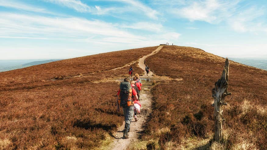
The neighbouring Nagle Mountains make up another stretch of the Munster Vales. Named after a prominent family in the region, the range reaches an elevation of roughly 230 metres, making it a challenging trek for any hiker, but the views from Corrin Hill and River Blackwater are a worthwhile reward for your efforts.
Although the full length of the Blackwater Way's 168km might be daunting to all but the most experienced walkers, you can experience a good chunk of the trail by tackling part of it. From Mallow, the Duhallow Way extends for 74km, which is still pretty lengthy but ideal for a hiking holiday. Take your time and spend two or three days navigating through forest tracks, bog roads, moorland and field paths, treating yourself to lovely meals in some of Mallow's cafés and restaurants along the way.
The Knockmealdown Mountains
With an elevation of up to 794m, the Knockmealdown Mountains form the border between Tipperary and Waterford. Alongside its forestry tracks and mountain trails, the range is also surrounded by historically significant sites, from 19th century monasteries to ancient castles.
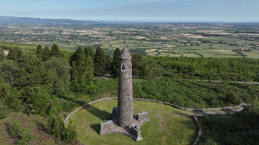
From Goatenbridge, you can choose from two major routes, depending on your level. For a moderate hike that will be a nice start to your morning or afternoon, go for the Liam Lynch trail. Named after the celebrated Irish Civil War general, the 11.9km trail starts and finishes at Knockballiniry forest car park. Follow the green and purple arrows as they guide you through forest paths, past a round tower built in honour of the fallen general and along the shoulder of Crohan Mountain.
For walkers who want a hike that's short and sweet, the Knockballiniry Trail is a great choice. Taking its name from the nearby town, which is nestled on the slopes of the Knockmealdown Mountains, the 5.2km walk consists of a moderate loop that only takes just over an hour to complete. Although it's short, the route has plenty of scenery to pique your interest, including a waterfall.
The Comeragh Mountains
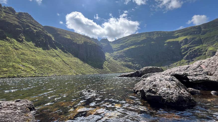
From glaciated mountainsides to boggy plateaus, the 12 individual peaks that make up the Comeragh Mountains are filled with a variety of natural scenery that you wouldn't find on every mountain hike. Not only is the range famous for its terrain, its also famous for being the hiding spot of Waterford's very own outlaw, William Crotty.
Although it's set along the lower slopes of the mountain scape, the Coumduala Loop is hardly a simple hike. The 7.4km trail rests on the Nire Valley and is the most difficult walks in this section. Following a mix of sand roads, paved roadway, tracks and raw mountain terrain, reach the trail's highest point of Knockanaffrin for incredible views of wider Waterford.
If your legs feel heavy at the mere thought of a tough hike, don't worry, there's always the Anne Valley Walk in Waterford. Perfect for families and dogs, the 4.4km woodland route will bring you past the ruins of Dunhill Castle and the swans and heron that call it home. Culminating at Annestown Beach, reward yourself with relaxing afternoon r
Bike the Munster Vales
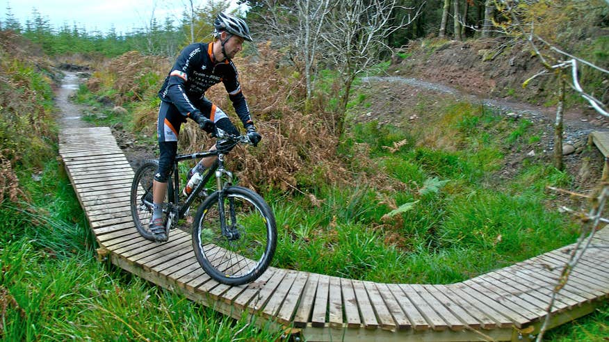
If hiking doesn't get your adrenaline pumping, there are plenty of biking trails dotted along the Munster Vales. Bring your bike along for an adventure on the 75km-long Sean Kelly Cycle Route in Waterford, which runs along the coast between Dungarvan and Passage East. Named after the legendary Irish cyclist, the route is one of five radiating from Dungarvan, and passes through the leafy woodlands around Stradbally before taking you through the Copper Coast UNESCO Geopark. Mountain bikers of all ability levels also love the dedicated bike trails in Ballyhoura - five looped runs starting near the village of Ardpatrick in County Limerick. Hop on your trusty steed, or rent one from the bike shop, and explore the 92km of flowy, exhilarating trails here.
The towns and villages of the Munster Vales
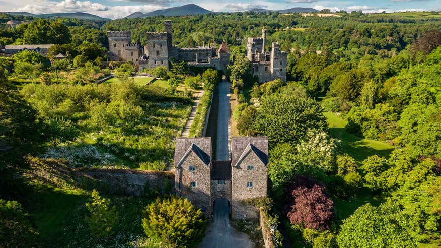
All along the Munster Vales there are lovely towns and villages that are worth a pit stop. Set on the banks of the Blackwater River in Waterford, Lismore is a vibrant heritage town that was invaded by Vikings on no less than eight occasions. Explore the remains of Lismore Abbey, a monastery that’s almost 1,400 years old and Lismore Castle, the former home of Sir Walter Raleigh.
Another town to have on your to-do list is Cashel in Tipperary. Once the seat of power of the High Kings of Munster, it's home to the world-famous Rock of Cashel, which dominates the landscape for miles. Learn about the area's past by exploring the 12th and 13th century cathedral, chapel, tower and churches. Travelling on to Fethard, the Fethard Horse Country Experience shows the vital role that horses have played in the region over the past two millennia.
Unlock your next hiking destination and plan an outdoor adventure on more of Ireland's routes and trails.
